Guam’s Mangrove Forests
Mangrove Basics
-
They are a type of tree that lives in saltwater habitats along the coast.
More specifically, mangroves are found only in the intertidal environment; the area of land exposed during low tide and submerged during high tide. They can survive in a mix of salty and fresh water along the coast.
-
Because they can filter the salt out of the water!
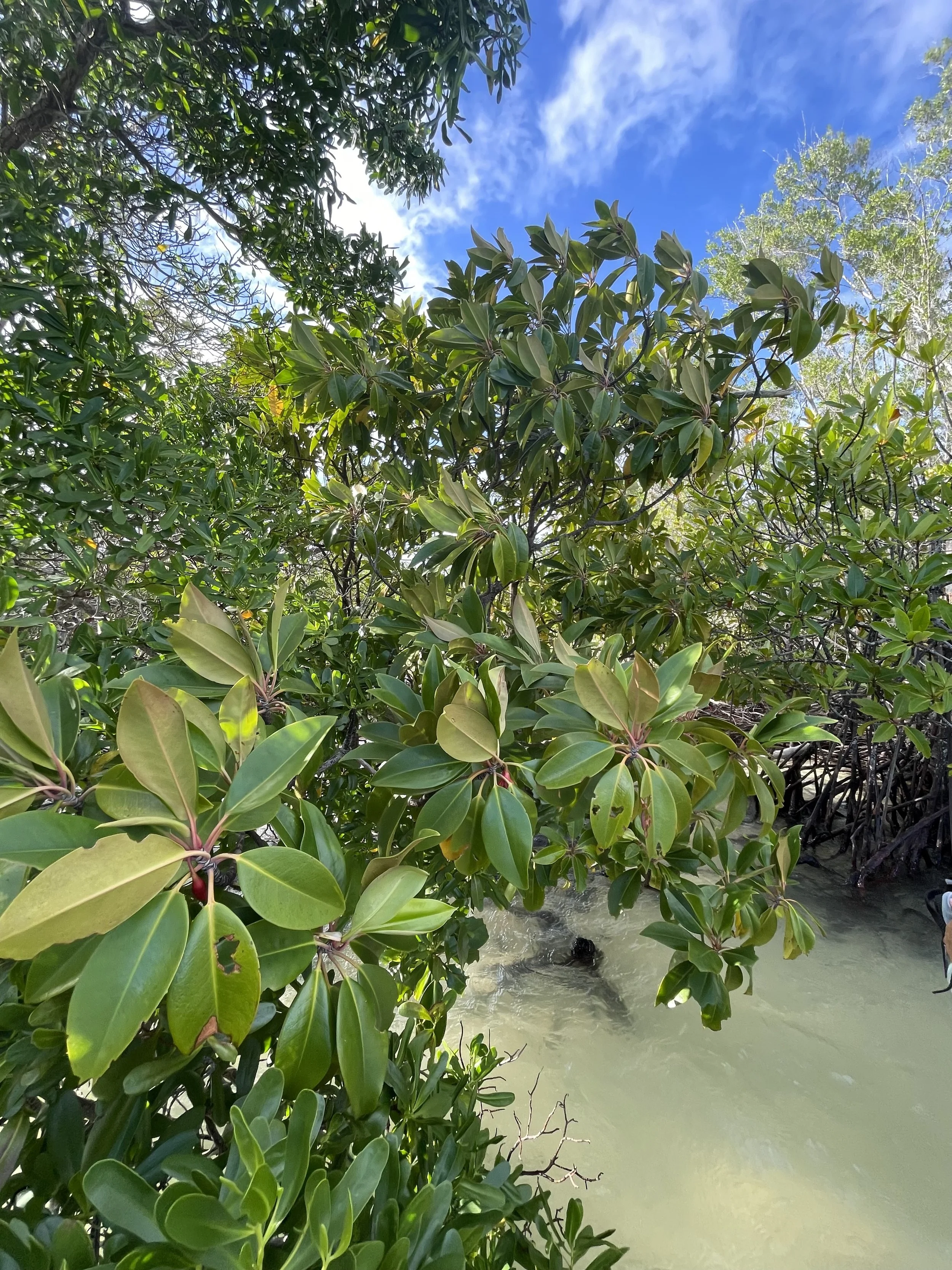
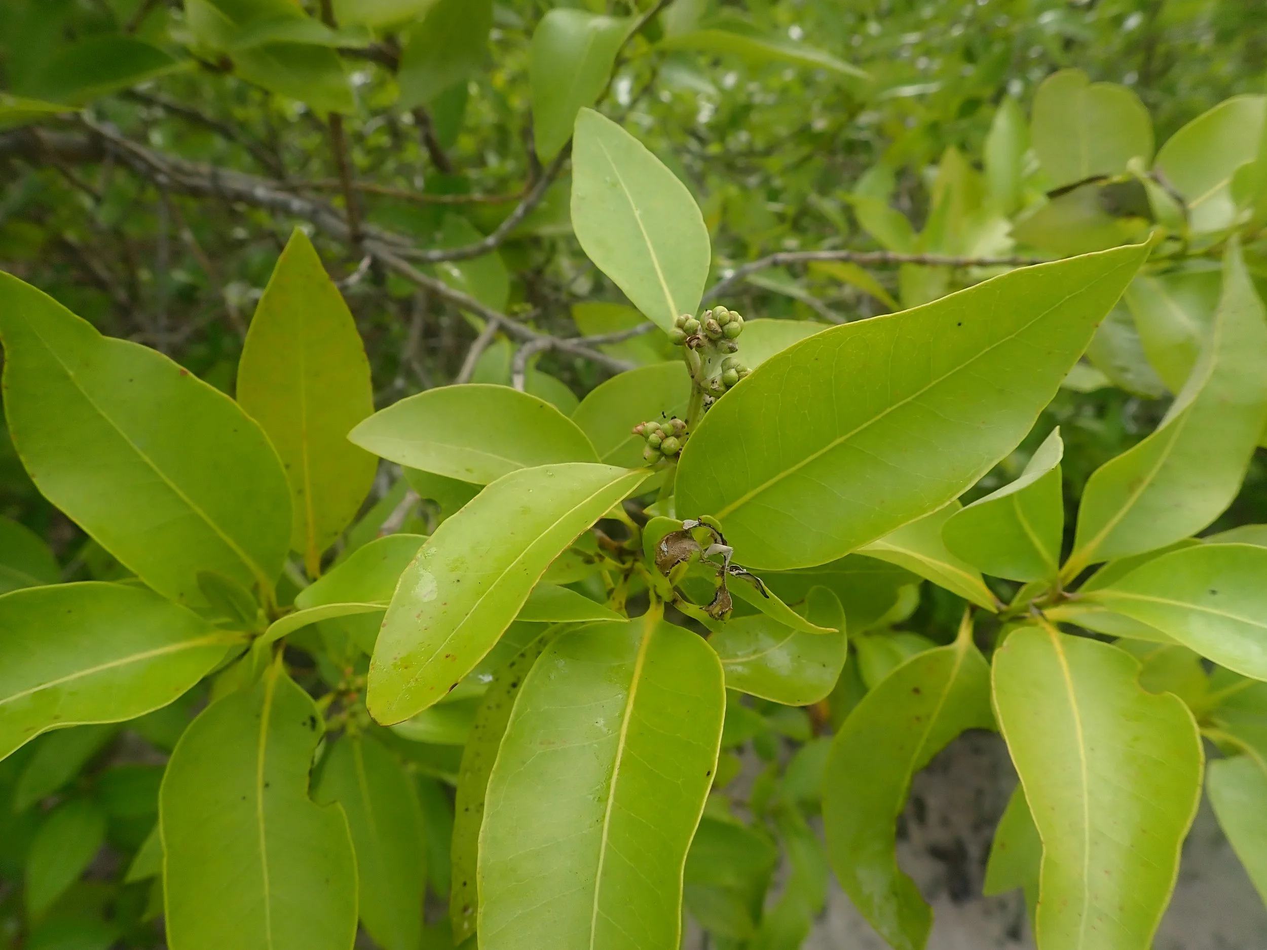
Normal trees will die if exposed to too much salt, but mangroves thrive in a salty habitat because they have evolved special ways of dealing with their environment. One way they do this is by filtering up to 95% of the salt out of the water surrounding their roots. (Krishnamurthy et al. 2014) Where does all this salt go? They get rid of the salt by excreting it through their leaves (leaving behind lots of small salty crystals), or concentrating it in bark or old leaves which eventually fall off the tree.
Mangroves can also store freshwater in their leaves, which have a waxy layer to keep the water inside.
-
Because they help mangroves to be perfectly suited for their habitat!
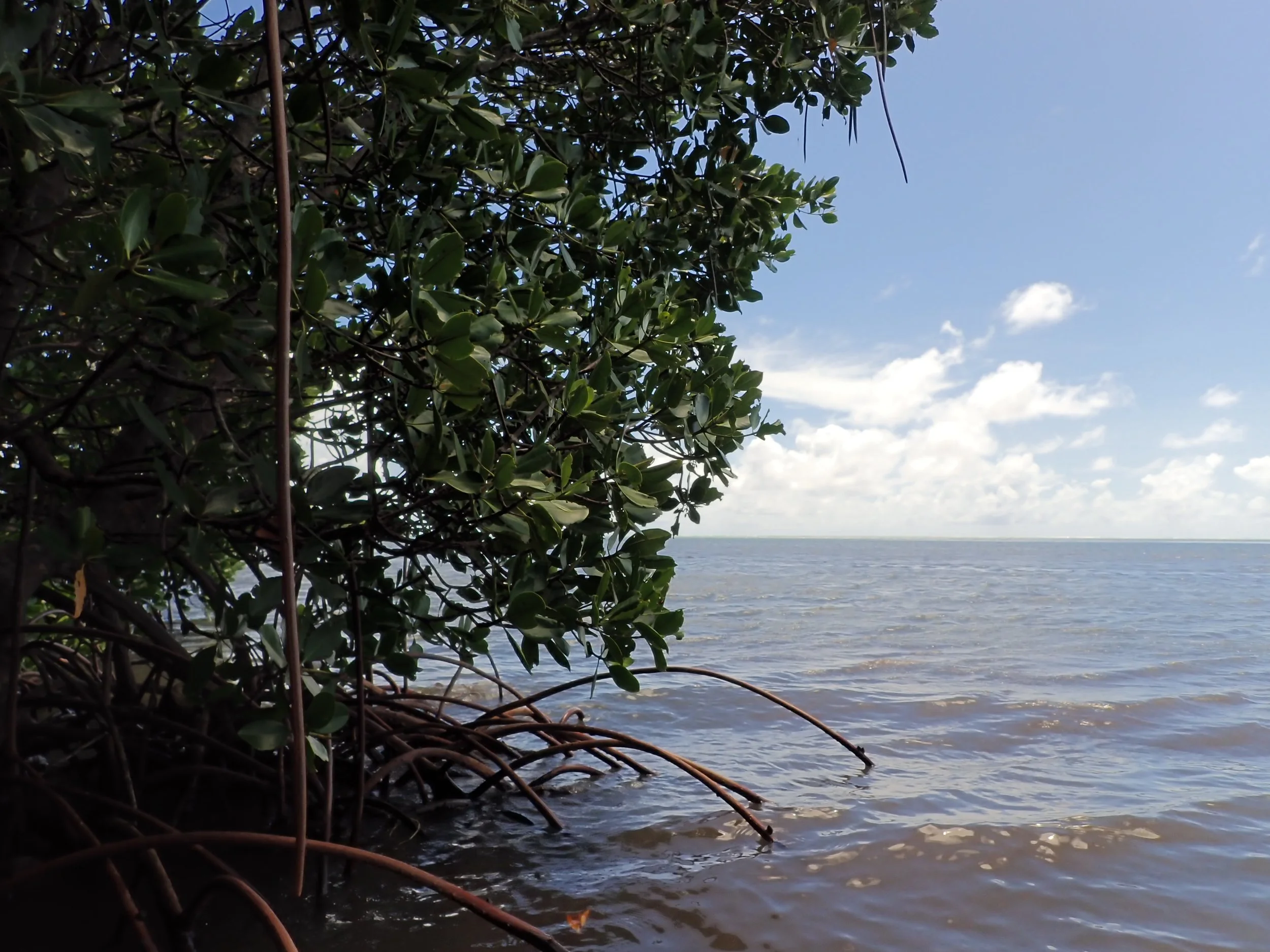
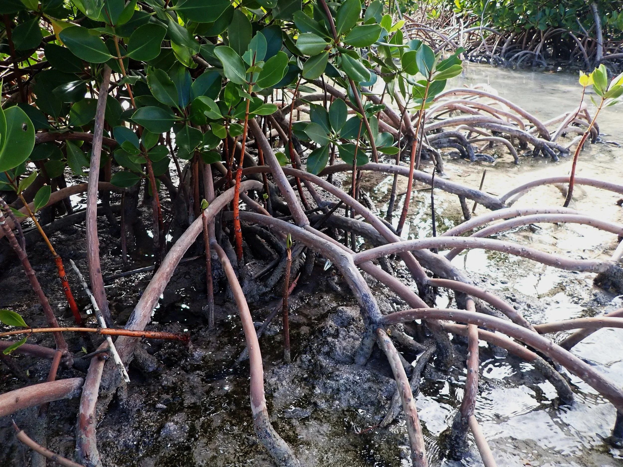
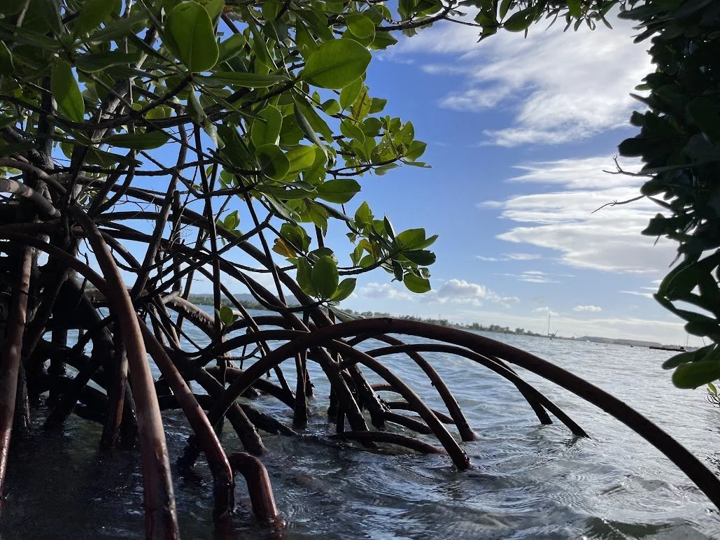
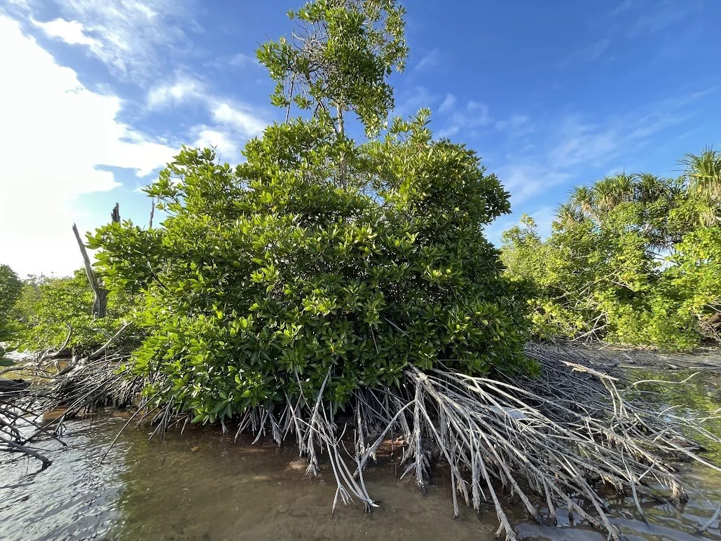
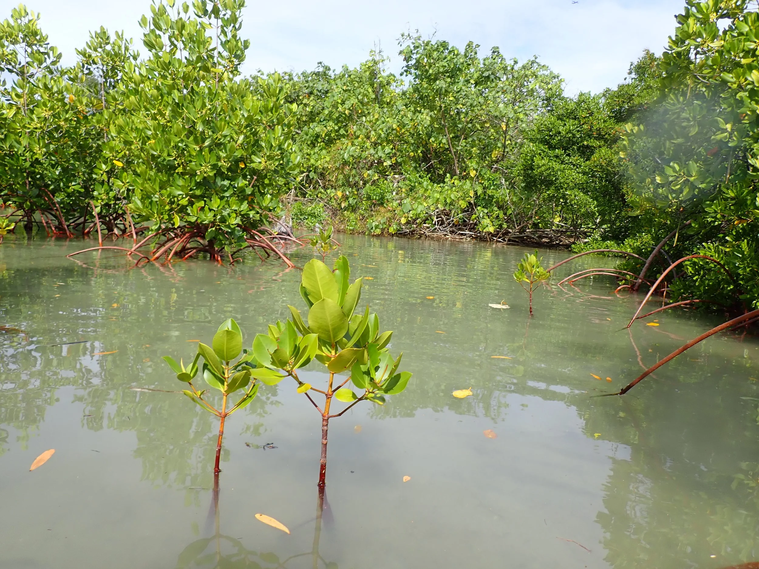
Mangrove roots tend to look more like stilts than land-based tree roots, which aren’t even visible above the ground. These unusual roots raise the mangrove's trunk and leaves above the water so that they don’t get flooded as the tides fluctuate throughout the day. The roots are wide and branching, which also helps to keep the mangroves stable and upright even when hit by the waves.
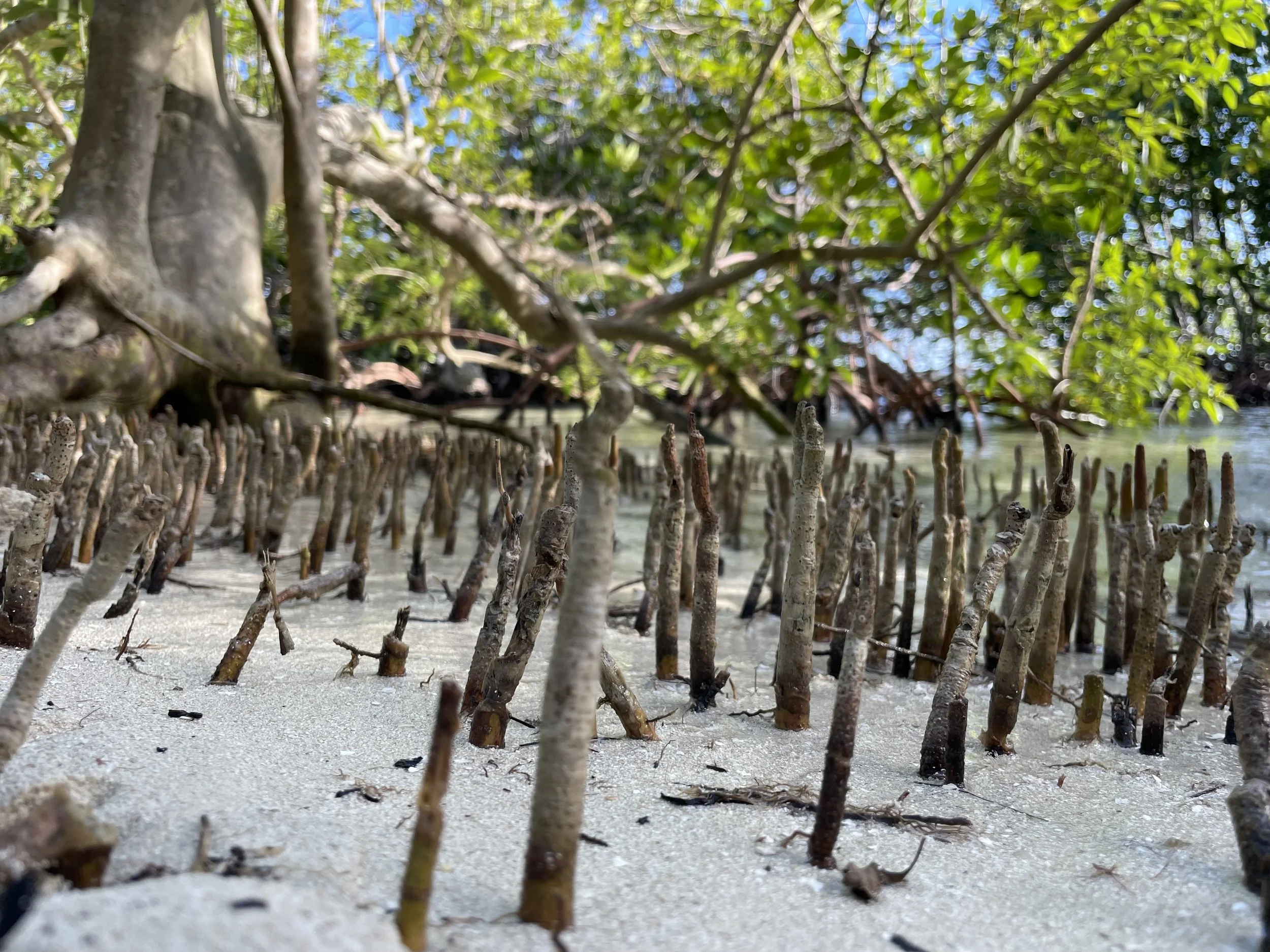
Having the roots above ground instead of underground is also helpful because it allows the mangroves to extract oxygen from the air. Some mangrove species even have “pencil roots” that poke up out of the water to absorb even more oxygen!
-
Mainly in the southern part of the island
Most of the mangroves in Guam are found in the Sasa Bay Marine Preserve and Apra Harbor.
-
Along the coast of warm, tropical and subtropical waters.
Worldwide, there are 64 known species of mangroves. They cover approximately 15% of the coastline, which equates to 147,359 square kilometers! (Leal and Spalding 2022)
As of 2020, Southeast Asia is home to the largest amount of mangroves (48,222 km^2), North and Central America and the Caribbean have the second largest amount (22,827 km^2) and South America has the third largest amount (20,378 km^2). (Leal and Spalding 2022)
Check out this awesome mangrove mapping tool to see for yourself!
Why are mangroves important to our community in Guam?
-

Fish and Seafood
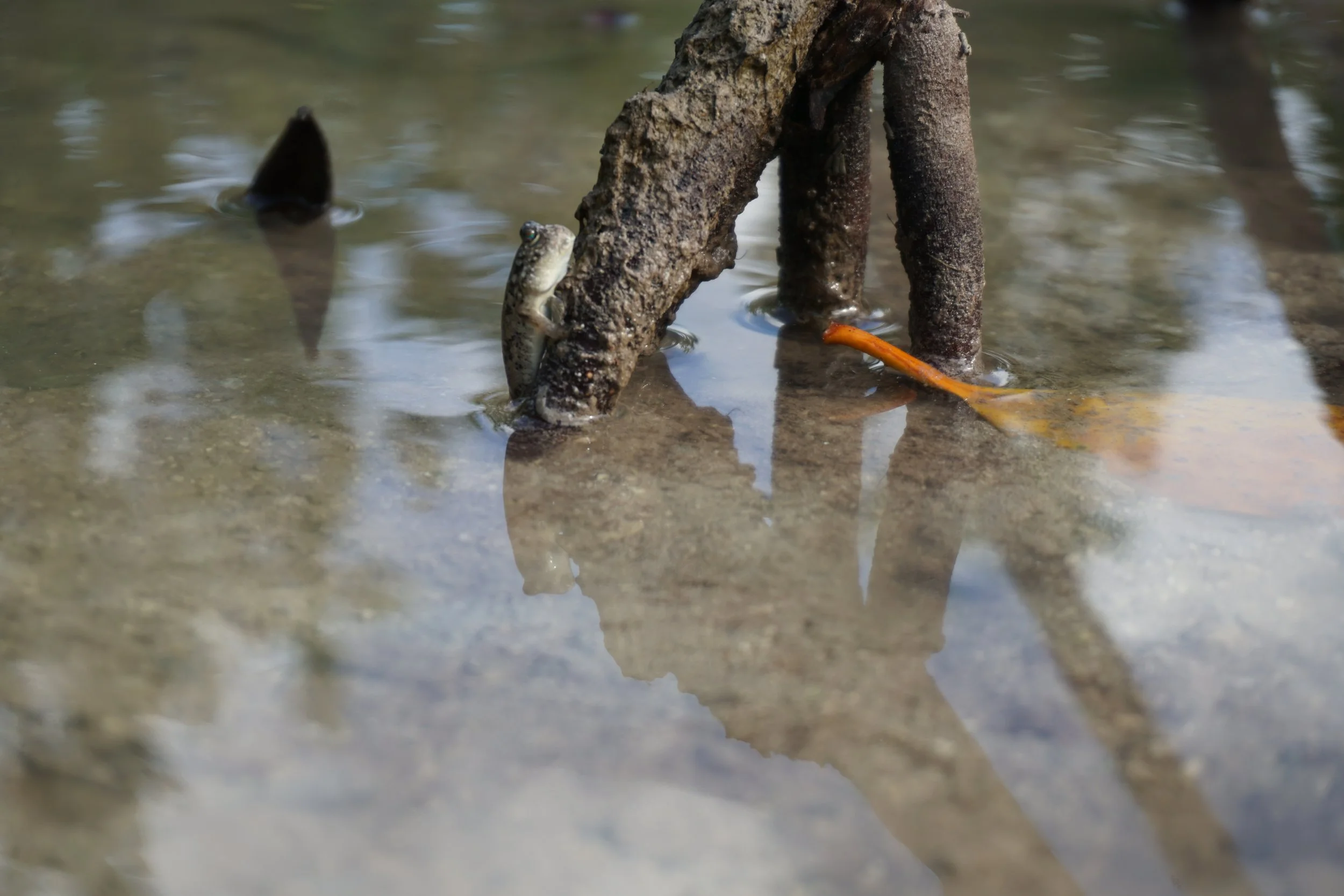
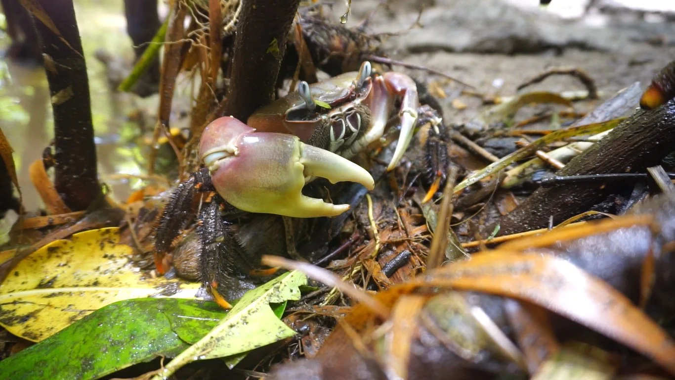
Mangrove roots provide shelter for fish and help support the food web. Some of the fish that use mangroves when they are young include alu (barracuda), tagafen saddok (river snapper), kaka’ka (flame tailed snapper) and gadao (groupers). Mangroves are also home to other types of seafood including Pång'lao (land crabs).
-
Erosion Prevention
Mangrove roots trap particles and accumulate sediment, which helps actively build up and stabilize the coast.
The roots also prevent erosion by absorbing waves, especially during storms.
-
Healthier Corals
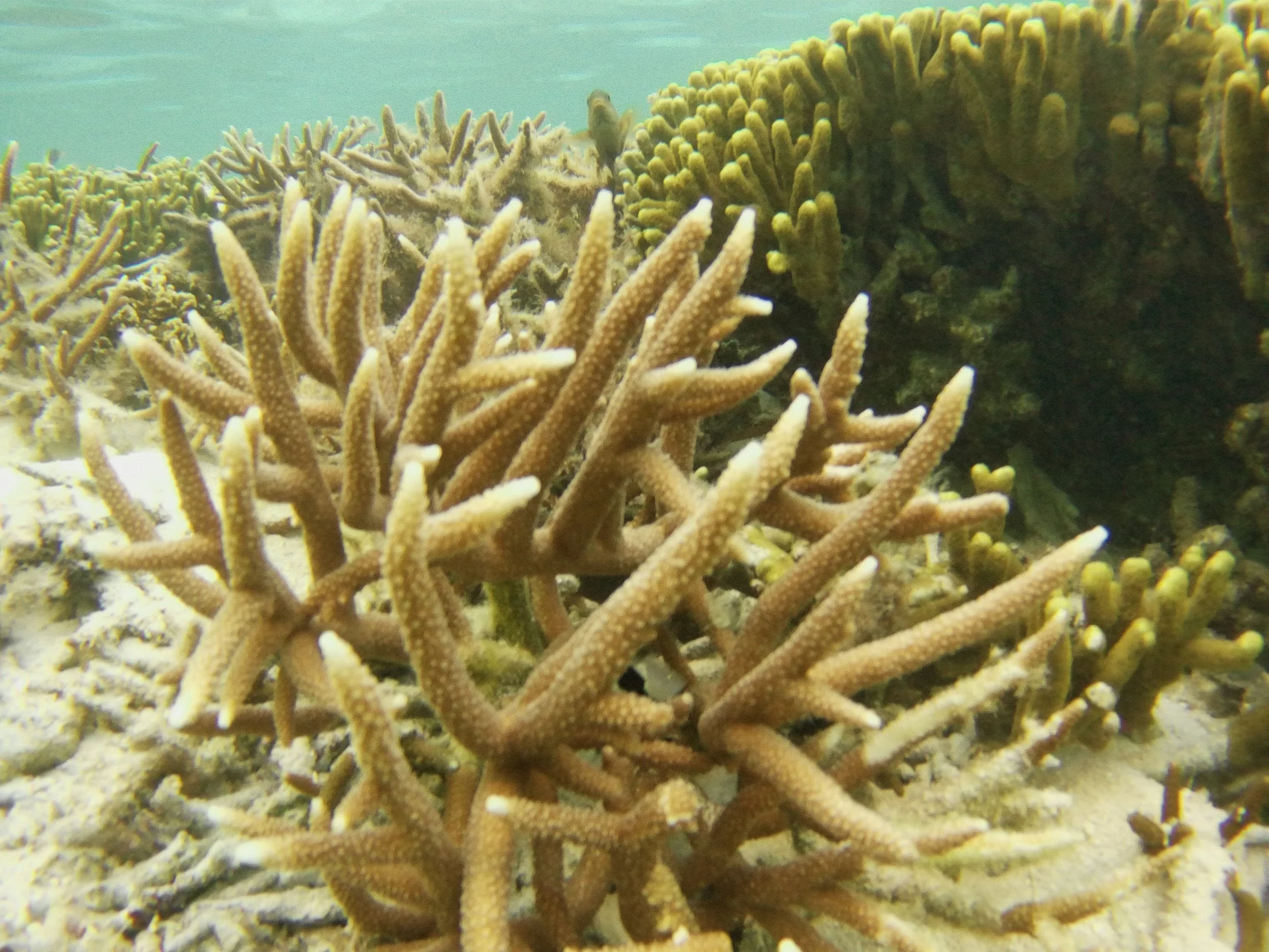
Mangroves act as a buffer between the land and sea by absorbing pollution such as toxic metals, sediments, and nutrients that could harm the coral reefs.
Mangroves also store more carbon than tropical rainforests, which helps fight climate change, a major threat to coral reefs.
What can I do to protect mangroves?
1. Don’t cut down mangroves
If you or someone you know has mangroves on private property, keep those mangroves standing and don’t cut them down. Not only are the mangroves good for wildlife, they will also help keep the property safer from erosion. In marine preserves it is illegal to cut down mangroves. Mangroves can be trimmed if necessary for water access or views with proper procedures.
If you are a landowner interested in learning more about managing mangroves or other vegetation on your property with the help of the Guam Department of Agriculture, please contact Cara Lin at cara.lin@doag.guam.gov
2. Reduce pollution
Reduce your plastic use and dispose of waste, including old electronics and household chemicals properly. Complex mangrove roots often trap lots of litter inside them, where they can entangle or get ingested by wildlife. Single-use plastics, abandoned fishing equipment, oil, and other chemicals are all common pollutants in mangroves.
What types of mangroves do we have in Guam?
Which animals live in Guam’s mangroves?

What is the best way to explore the mangroves?
Go kayaking at high tide at Achang Reef Flat Marine Preserve!
The area can be accessed by paddling west from Merizo Pier. The map below indicates a short mangrove tunnel located approximately 2 miles away from the pier.
Although the water is murky, be sure to keep an eye out for jumping fish, herons, and other birds, and turtles that frequently can be spotted in the channel.
Follow the marine preserve rules- there is no fishing allowed except for certain species during certain times of the year. Check-in with the Department of Agriculture or the local mayor’s office for more information.
The boundary of the marine preserve starts roughly at Manell Point all the way west to the bay after Agrigan Island. Also, always be prepared and take safety precautions when exploring outdoors.
Learn more about the Sasa Bay Marine Preserve mangrove forest
Mangrove gallery
Want to learn more?
Click here to check out our mangrove resources!
